 MT AREION
DETAILS
IMO: 1060318 ( Tanker )
MMSI: 311001737
Call Sign: C6IP9
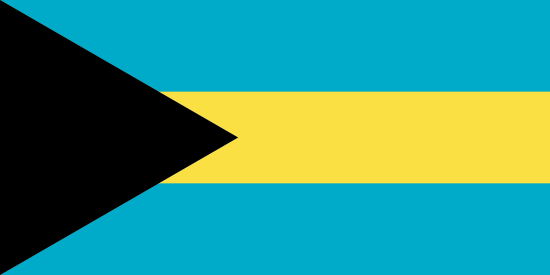
Flag: Commonwealth of the Bahamas
LOA x Breadth: 230 x 37 m
Destination: KR YOS > C0C(YM5+EE&
ATD: 2026-10-26 01:00 LT
Status:
At anchor
Speed/Course:
0kn/200.2°
Draught (Reported/Max)
8.2m / 8.2m
Where is the ship?
Tanker, all ships of this type MT AREION is currently located at EAFR - East Africa at position 54° 6' 47.688" N, 130° 35' 46.092" W as reported by Marine Intel Terrestrial Automatic Identification System on 2026-06-29 03:00 UTC ( / Days ago)
The wind in this area at that time blows from NorthEast (60°) direction at force 3 Beaufort.
Where is this vessel going to?
The vessel is currently sailing at 0 knots with Southeast direction heading to KR YOS > C0C(YM5+EE&
What kind of ship is this?
MT AREION (IMO: 1060318) is a Tanker, all ships of this type that was built in << 0000 (XX years ago) >> and is sailing under the flag of Bahamas.
It’s carrying capacity is << 58399 >> t DWT and her current draught is reported to be 82 meters. Her length overall (LOA) is 230 meters and her width is 37 meters.
LATEST POSITION
Position Received: 2026-06-29 03:00 UTC / Days ago
Vessel's Local Time: Vessel is Out-of-Range
Current Port: Port Edward
Latitude / Longitude: 54.1132° / -130.5°
Status: At anchor
Speed/Course: 0 kn / 200.2°
AIS Source: AISHub Source
Share Position